
Districts manage aquifers they cannot see. NightOwl puts continuous water-level data from your monitoring wells onto one dashboard, so trends show up between site visits, not months later.
Groundwater conservation districts monitoring is the scheduled or continuous collection of water-level and well data across a district’s monitoring network, used to track aquifer conditions, measure progress toward adopted desired future conditions, and support permitting and drought decisions. Remote telemetry sends readings from each well to a central dashboard, reducing the number of manual site visits needed to keep the record current.
Ch. 36
5 years
15 min
-30°C to 60°C
Field-rated operating range of the NightOwl Hawk logger
Most districts still build their record from manual measurements taken on a route, a truck, a sounder, a clipboard, and a day of driving. That record is defensible, but it is thin. Between two readings a well can be pumped hard, recover, and settle back, and none of it appears in the data.
Drawdown from a nearby high-capacity well, or a fast recovery after rain, happens between visits. On a monthly chart it never existed.

When a trigger level is written into district rules, staff need to know the day a well crosses it, not at the end of the next measurement cycle.

Small district staffs spend a disproportionate share of the year driving to wells. Telemetry does not replace that work; it changes how often it has to happen.
Configuration follows the district’s objectives. A dedicated observation well may need one parameter; a district-owned production well or recharge facility usually needs several.
Submersible pressure transducer or non-contact sensor, logged at your chosen interval.
Run time, start counts, amperage and voltage per leg - context for why a level moved.
Paired barologger data so absolute-pressure readings can be corrected properly.
Conductivity, temperature and other parameters where a district tracks intrusion or contamination.
Pulse or Modbus meter input for instantaneous rate and cumulative volume.
Distribution or discharge pressure on district-operated systems.
Enclosure temperature, humidity, door or motion status at remote installations.
Battery voltage, solar input, signal strength and last-report time for every site.
Districts that run telemetry still send staff to the field, to verify readings against a manual sounding, service equipment, and keep the long-term record trustworthy. What changes is the ratio.
STEP 01
A transducer or sensor in the well records depth to water on your interval. Additional inputs, flow, pressure, pump status, attach to the same logger.
STEP 02
STEP 03
STEP 04
Build a continuous record across designated index wells and expand coverage aquifer by aquifer as the network grows.
Watch the wells your drought rules are written around, and get notified the day a level crosses a declared stage boundary.
Long, gap-free hydrographs make declining-trend analysis and recharge response far easier to defend.
Pair water levels with metered production so the district can see use and aquifer response side by side.
Sites with no road access, no power and marginal signal are exactly where a solar, store-and-forward logger earns its cost.
Where a district runs its own wells, tanks or recharge facilities, add pump monitoring and remote control on the same platform.
Best fit
Power
Rechargeable LiPo, D-cell lithium or external 6-28V DC. Solar compatible.
Sensor inputs
Modular I/O card: analog 0-30V, 4-20mA, digital/pulse, RS-485, RS-232, SDI-12, 1-Wire, I2C
Reporting
Connectivity
Offline behaviour
Enclosure
Remote control
Data out
Districts that operate their own production wells often run a mix: Hawk on the observation network, Ultra where remote pump or valve control is needed.
Under Texas Water Code Chapter 36, districts adopt a management plan, participate in joint planning to set desired future conditions for their aquifers, and readopt that plan on a fixed cycle. Every one of those steps runs on water-level data.
Continuous hydrographs show whether observed aquifer conditions are tracking toward the desired future condition adopted for your groundwater management area.
Historical data exports for board packets, annual reports and submissions, and moves through the API into whatever system your district or consultant already uses.
Field staff can compare a manual sounding to the logged value at the same timestamp. Keeping that check in your routine is what makes the record defensible.
They fund it through grants. The Texas Water Development Board’s groundwater science, research and data collection grant program regularly funds exactly this kind of work, sensors, pressure transducers and telemetry installed in selected wells, and expansion of district monitoring and data infrastructure.
If your district is preparing an application, we can supply equipment specifications, a site-by-site configuration and pricing in the format a grant budget needs. If you are between funding cycles, the loaner program lets you prove the approach on one or two wells first.
Existing wells. Most district monitoring wells can be instrumented as they stand. The I/O card is selected to match the sensor you are already using or plan to install.
No grid power. Hawk runs on lithium D cells, an internal rechargeable pack, or external 6-28V DC, and is solar compatible, the usual answer for an isolated observation well.
Marginal coverage. LTE-M and NB-IoT reach further into rural areas than standard cellular, and store-and-forward means a dead zone costs you latency, not data.
Who installs it. Districts typically work through a qualified well driller or monitoring contractor. We support the installer directly.
There is no single price, because a two-well pilot and a forty, well network are not the same purchase. Cost is driven by:
We will quote a district network well by well rather than quoting a unit price and leaving you to multiply.
NightOwl sells and supports through water well contractors, pump companies and monitoring specialists. If your district already has a driller under contract, we would rather train and equip them than send an unfamiliar crew to your sites. If you do not, we will connect you with a qualified partner in your area.
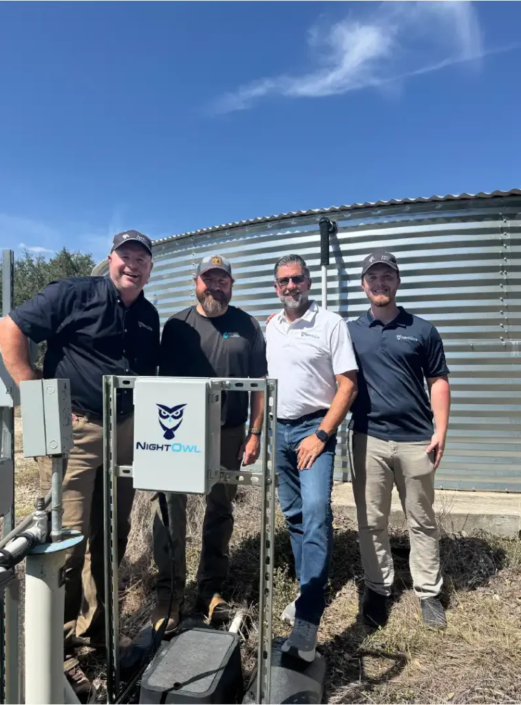

In most cases, yes. The modular I/O card is chosen to match your sensor, and the system supports 4-20mA analog, digital and pulse inputs, RS-485 Modbus RTU and SDI-12, which covers the great majority of transducers already installed in district wells.
Hawk runs on D-cell lithium, a rechargeable internal pack, or external 6-28V DC, and is solar compatible. The enclosure is IP68 and field-rated from -30°C to +60°C, so it is built for an unattended site rather than a pump house.
That is the usual path. Districts typically begin with the wells where better data changes a decision, drought trigger wells, a declining area, a site that is expensive to reach, and add wells as funding allows. Our loaner program exists so you can test the approach before committing.